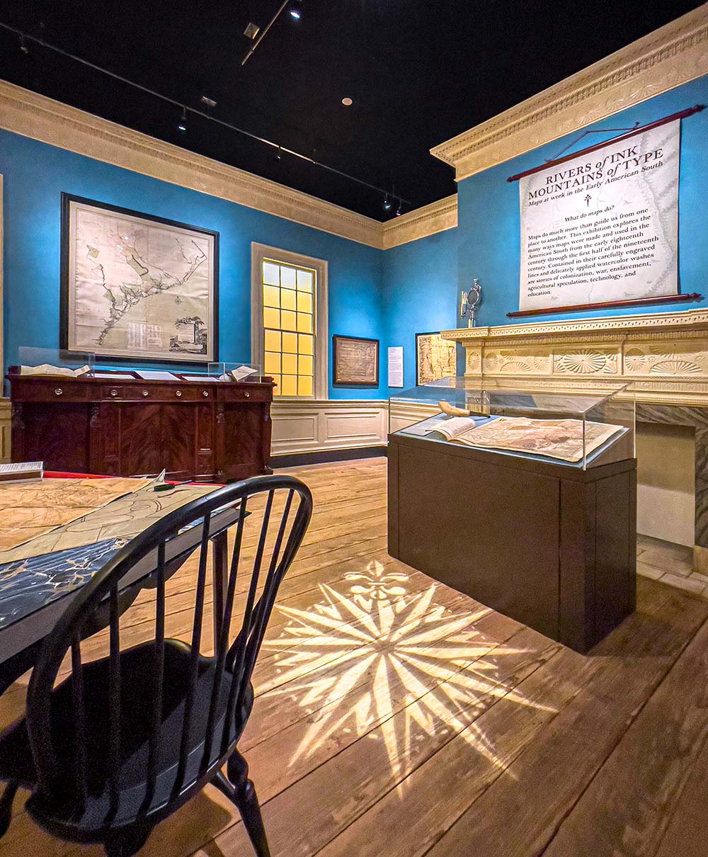
Rivers of Ink, Mountains of Type: Maps at Work in the Early American South
Through December 31, 2022
This exhibit in MESDA’s Whitehall Gallery brings together rare maps from the 18th and early 19th centuries to explore how maps were made, used, and did work in the early American South.
Rivers of Ink, Mountains of Type: Maps at Work in the Early American South includes maps from the MESDA and Old Salem collections as well as major loans from private collections, Salem Congregation, and the Moravian Archives of the Southern Province. The exhibit includes two early surveys of the Wachovia Tract made by Andreas Höger; a rare first-state copy of Joshua Fry and Peter Jefferson’s map of Virginia; two copies of Lewis Evans’s General Map of the Middle British Colonies produced at Ben Franklin’s press in Philadelphia; and surveys by George Washington of lands he owned along the Ohio River.
Rivers of Ink, Mountains of Type: Maps at Work in the Early American South is co-curated by Lea Lane, curator of the MESDA Collection and Daniel Ackermann, chief curator of MESDA and Old Salem.