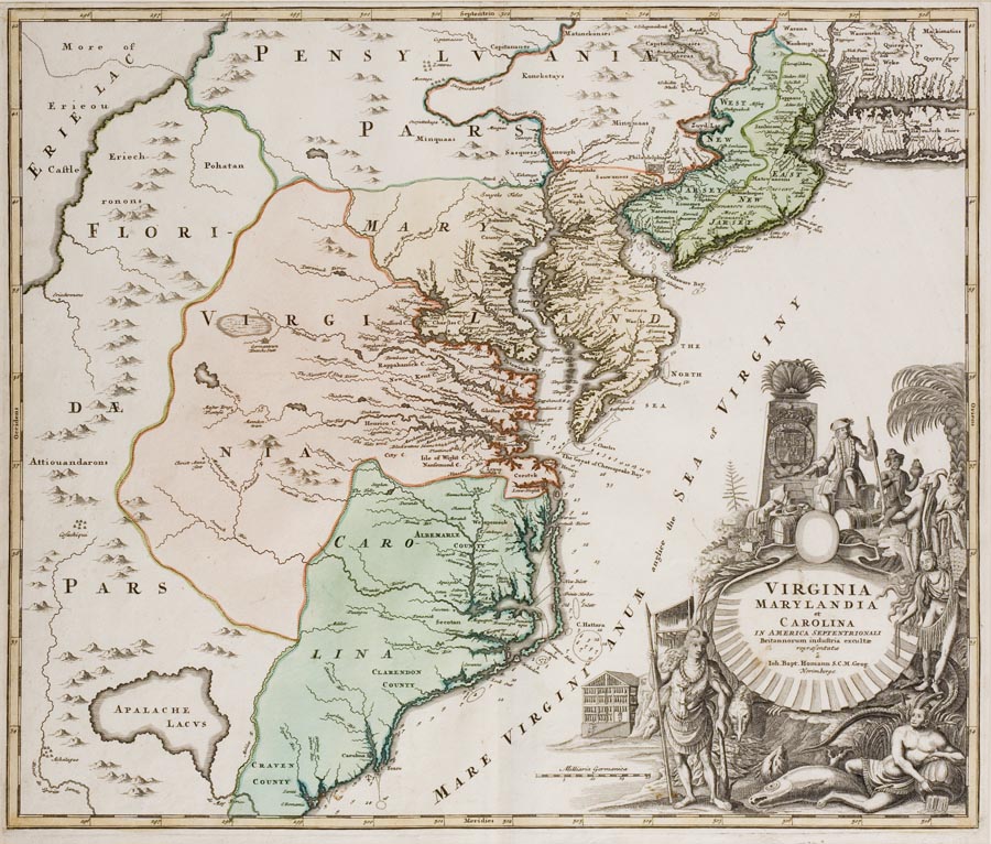
Virginia Marylandia et Carolina
HOA: 19 7/16″; WOA: 23″ Unframed
The roccoco cartouche of this map was also meant to aid in attracting settlers. It depicts a neatly dressed European atop the social hierarchy and surrounded by the wealth of the new world.
RELATED OBJECTS: MESDA owns a fireback cast at Spotswood’s Tubal Furnace in 1725 for Rosewell, Gloucester County, Virginia (MESDA acc. 3956)
SOURCES: Homman likely derived his geography from Visscher’s 1709 “Nova Tabula… Borealiorem Americae”; For North Carolina in particular he likely relied on either Gascoyne’s 1682 or Thornton’s 1685 map.
DESCRIPTION: Hand colored black and white engraving on paper; full title inside scalloped shell in the cartouche: “VIRGINIA/MARYLAND/et/CAROLINA/IN AMERICA SEPTENTRIONALI/Britannorum industria excultae/repraesentatae/a/Ion. Bapt. Homann S.C.M. Geog./Norimberg” ; the cartouche in the bottom right corner also contains images of Native Americans and symbolic elements.
REFERENCES: Cumming, The Southeast in Early Maps, 156
Pritchard and Taliaferro, Degrees of Latitude, 17