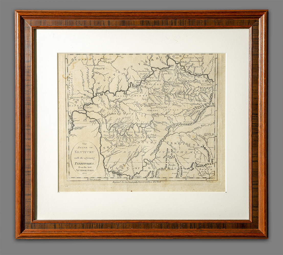
The State of Kentucky…
Artist/Maker
Scoles, John __Engraver ||Payne, John __author ||Low, John __Publisher
Place Made
New York New York United States of America
Date Made
1800
Medium
ink on paper
Dimensions
HOA: 8″; WOA: 9 1/2″ (sight)
Accession Number
3306
Description
John Payne’s A New and Complete System of Universal Geography… published in London and New York was the first publication to include a full set of maps depicting the constituent states of the new United States.
DESCRIPTION: Map showing Kentucky and surrounding territores, items labeled include: counties, rivers, mountain ranges, and towns. Some discoloration to the map.
History
Published in 1800 in the New York edition of John Payne’s A New and Complete System of Universal Geography…
Credit Line
Gift of Frank L. Horton