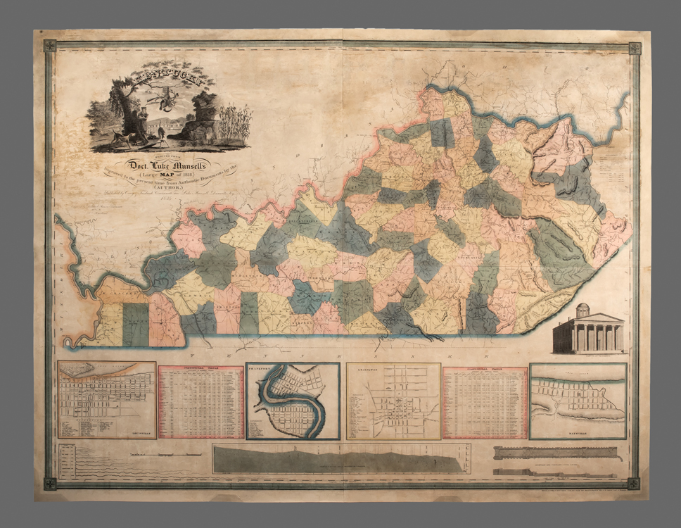
Kentucky Reduced From Doct. Luke Munsell’s Large Map of 1818…
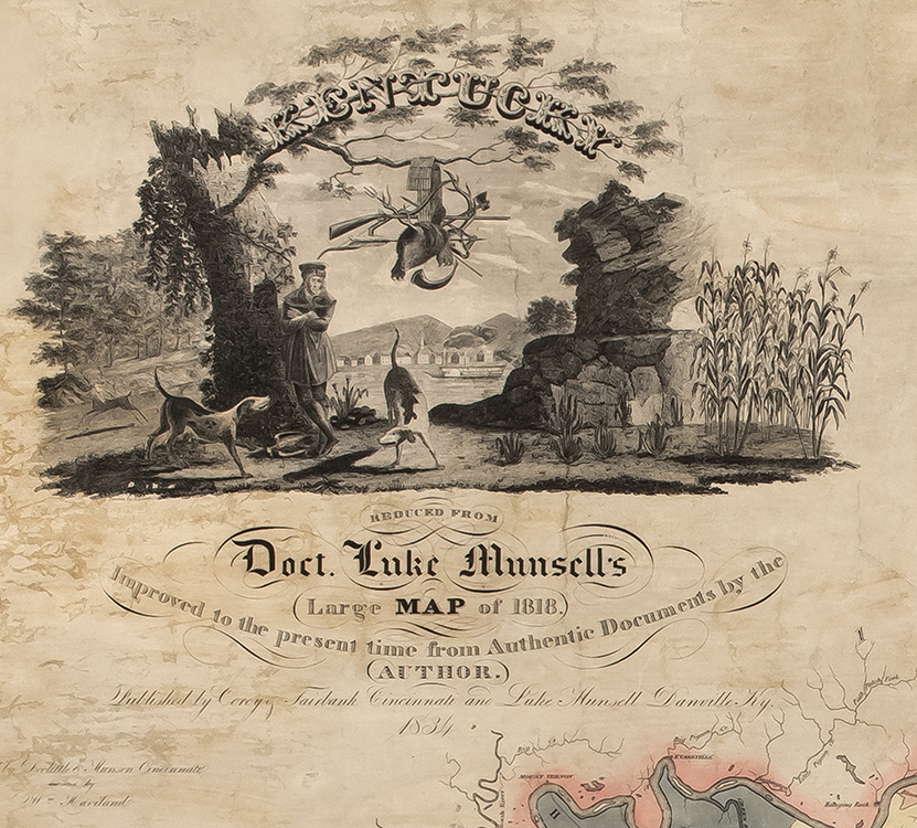
Between 1818 and 1835 Kentucky assumed its final form through the tragic displacement of its remaining indigenous peoples as well as the settlement of its long-running boundary dispute with Tennessee. Additionally, as Anglo American settlement moved rapidly westward, Kentucky transitioned from being a middle ground between Indigenous, French, Spanish, British, and American interests, into a key commercial center for the Ohio River Valley. The rapidity of this transformation helped to created a kind of Bluegrass mythology captured in the map’s decorative cartouche.
This rapid transformation is also expressed in the other illustrations on this map, which include town plans of the Commonwealth’s major cities, an elevation of the Neoclassical Capitol Building in Frankfort, and most importantly, a section drawing of the locks and canal at Louisville. Before the locks and canal were built, the Mississippi and Ohio Rivers were only reliably navigable from Pittsburgh to New Orleans during the spring. After their completion navigation was greatly improved. Easy of navigation also meant that the Ohio and Mississippi Rivers became a kind of “second middle passage” along which enslaved individuals were sold and transported farther south and west.