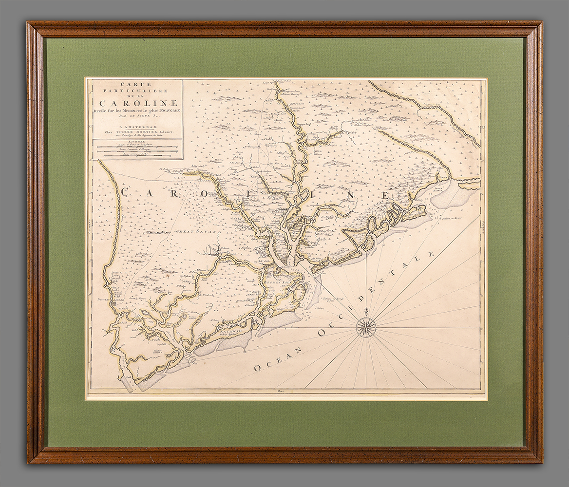
Carte particuliere de la Caroline: dresse sur les memoires le plus nouveaux par le Sieur S[anson]
Artist/Maker
Mortier, Pierre
Place Made
Amsterdam Netherlands
Date Made
1695-1700
Medium
ink on paper
Dimensions
HOA: 19″; WOA: 23 1/2″ (sight)
Accession Number
3024.1
Description
Description: Despite the title stating that it is by Nicolas Sanson, the map is, in fact, of English origin, derived directly from the 1695 map by John Thornton and Robert Morden. The Thornton & Morden map was based on a survey Maurice Mathews, Surveyor General of Carolina (1677-1684). Mathews provided approximately 250 plantation-holder names. This was the first map of South Carolina published outside of England.
RELATED OBJECTS: John Thornton and Robert Morden’s 1695 New Map… (of) South Carolina on loan to MESDA from the Colonial Williamsburg Foundation (MESDA Acc. 5714.5; CWF Acc. 1989-369)
REFERENCES: Burden, Mapping of North America, 768
Cumming, Southeast in Early Maps, 121
History
One of nine maps published by Pierre Mortier in 1700 as Suite de Neptune Francois, ou Atlas Nouveau des Cartes Marines
Credit Line
Gift of Frank L. Horton