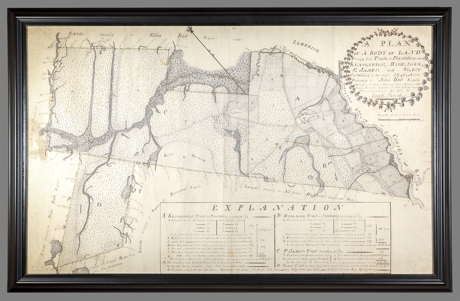
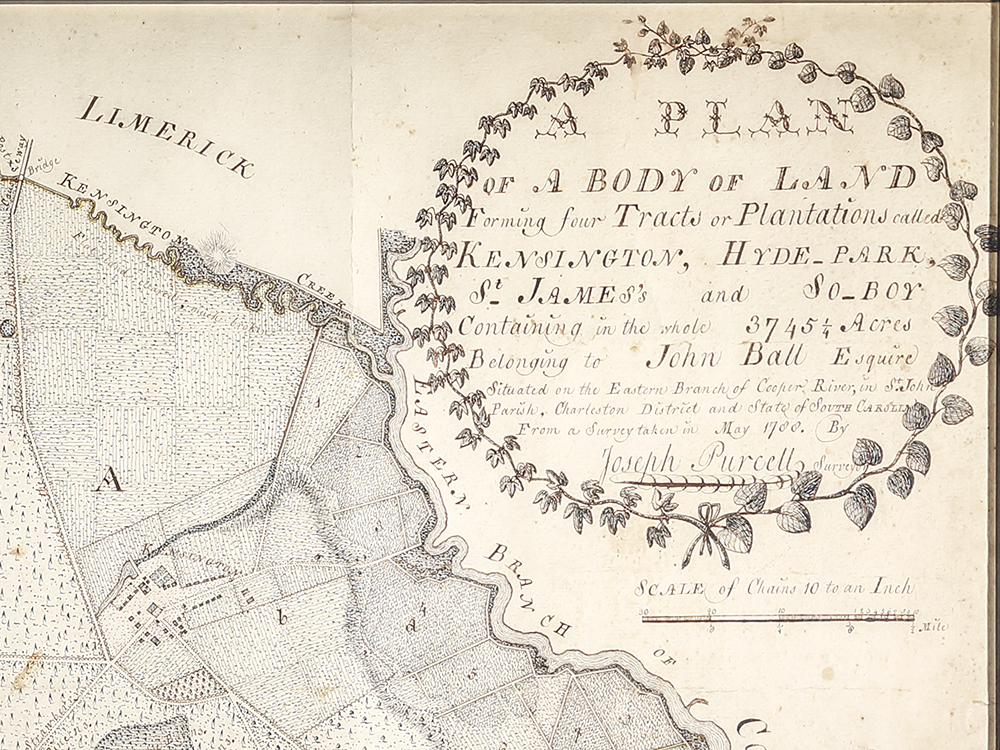
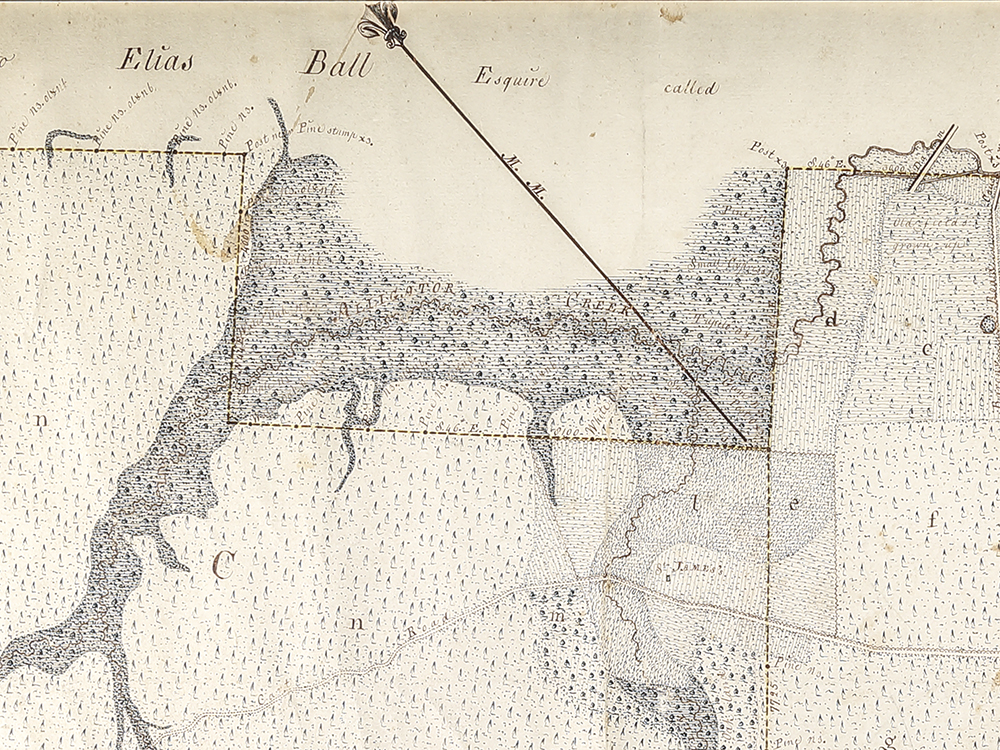
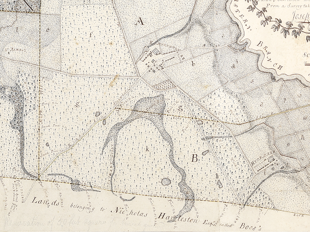
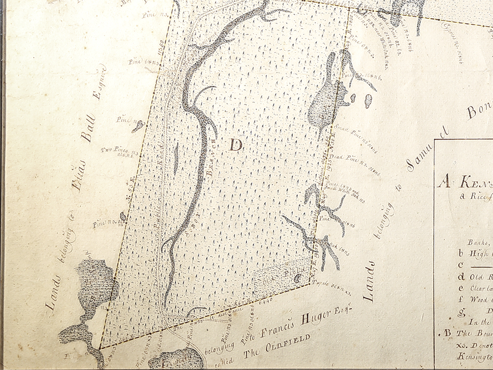
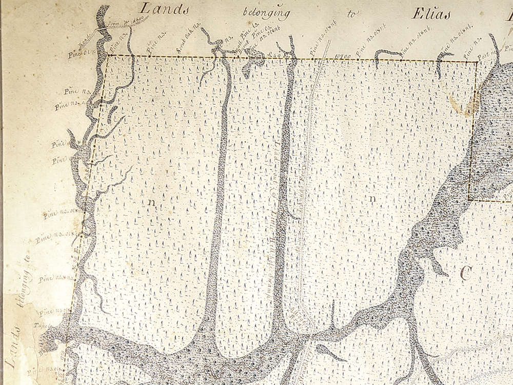
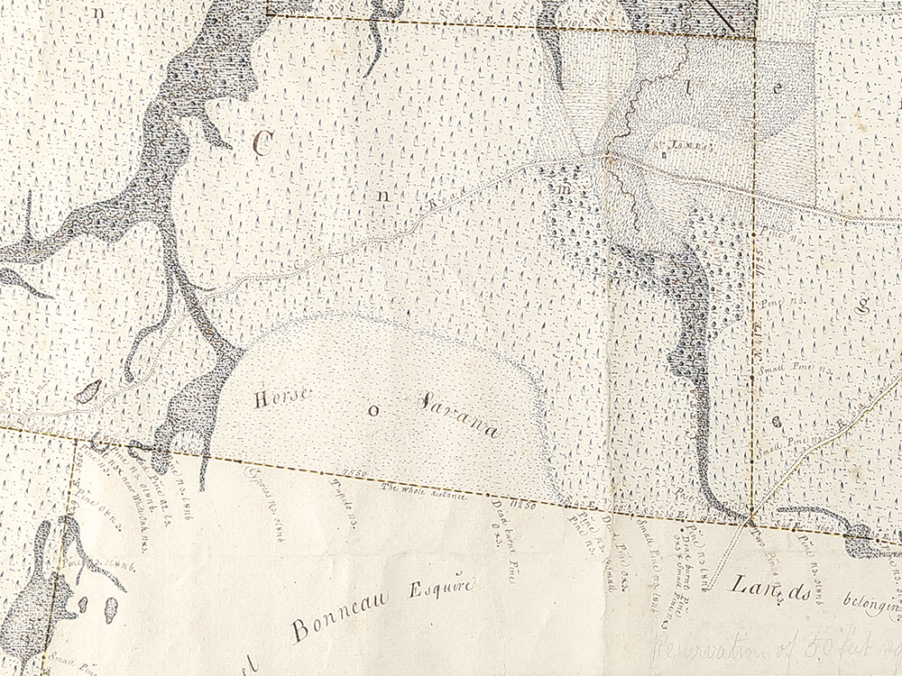
A Plan of… Plantations Called Kensington, Hyde Park, St. James…
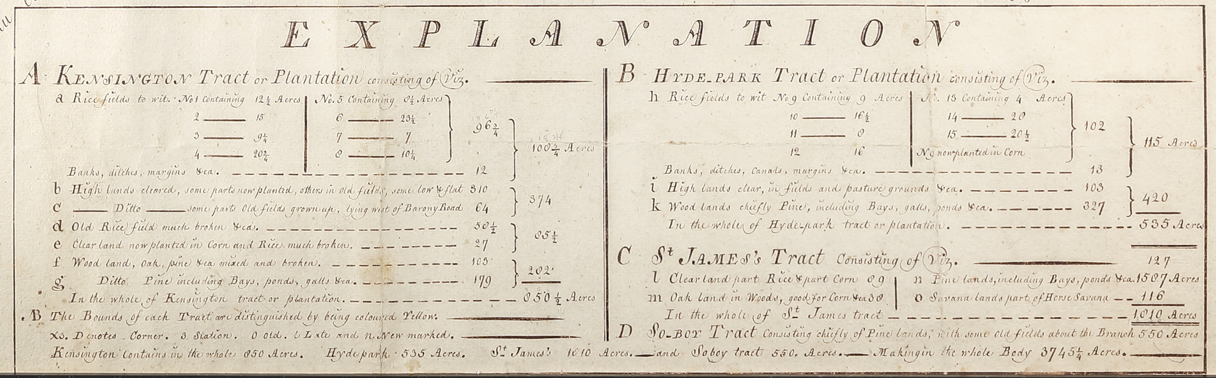
His son Elias Ball II (1709-1786) divided the family’s land and slaves between his two sons, Elias Ball III (1752-1810) and John Ball. Elias received Comingtee and Limerick plantations, and John received Kensington, Hyde Park, St. James, and So. Boy plantations. Both brothers engaged the surveyor Joseph Purcell to create plats of their inheritances that were simultaneously practical and decorative. This plat indicates the location of buildings, including main residences and slave dwellings, and identifies how various parts of the land were used for different agricultural purposes at the time of the survey.
RELATED OBJECTS: This plat is one of several Ball family objects from Middleburg Plantation donated by James Gendron Gibbs. Other objects include a fireback cast at the Aera Furnace (MESDA acc. 4490.2), a ladle marked by John and Peter Mood (MESDA acc. 4490.3), and a two-volume set of The History of America by William Robertson published in Philadelphia in 1812 (MESDA acc. 4490.6). MESDA also owns two objects related to Elias Ball II: his portrait by Jeremiah Theus (MESDA acc. 2739) and a mahogany tea board he purchased in 1775 from the cabinetmaker Thomas Elfe (MESDA acc. 5709).
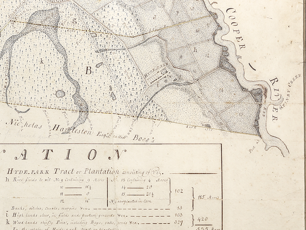
DESCRIPTION: Hand drawn map of lands belonging to John Ball with the following description in the upper right hand corner: “A PLAN/ OF A BODY OF LAND/ Forming four Tracts or Plantations called/ KENSINGTON, HYDE_PARK/ ST. JAMES’s and SO_BOY/ Containing in the whole 3745 1/4 Acres/ Belonging to John Ball Esquire/ Situated on the Eastern Branch of Cooper River, in St. John/ Parish, Charleston District and State of SOUTH CAROLINA/ From a Survey taken in May 1788 By/ Joseph Purcell Surveyor.” Description is surrounded by decorative foliage. The boundaries of each plantation or tract are marked by a dotted line and highlighted in yellow; various parts of each tract are lettered and keyed to the EXPLANATION at the bottom of map to indicate how the parts of each tract are used (woodlands, rice fields, cleared land, etc.) and how many acres of each tract are used for various purposes. The names of the owners of the land surrounding the Ball lands are also identified (Francis Huger, Samuel Bonneau, Nicholas Harelston). According to the map itself the “SCALE of Chains is 10 to an Inch.”
REFERENCES: Edward Ball, Slaves in the Family (New York: Farrar, Straus and Giroux, 2014)