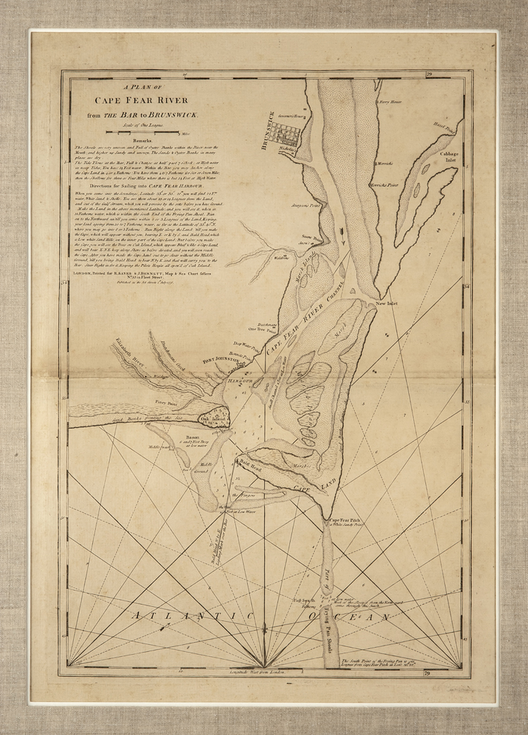
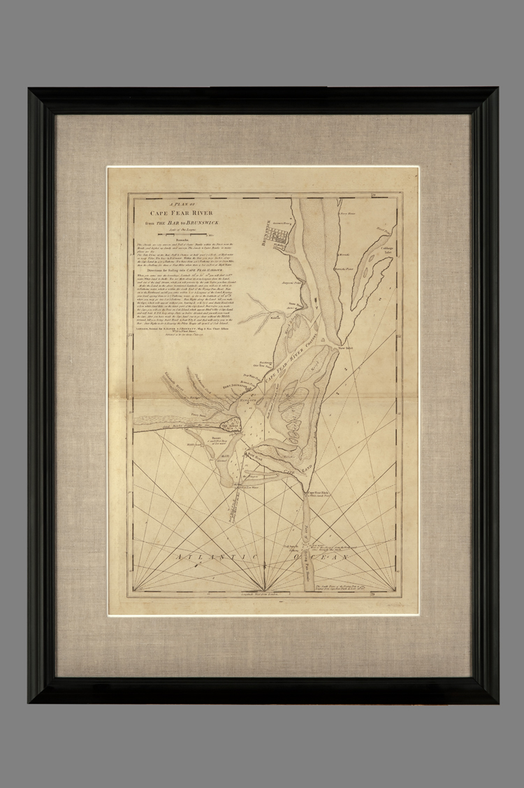
A Plan of Cape Fear River From the Bar to Brunswick
DESCRIPTION: Map showing plan of Cape Fear River starting at the top with Brunswick and showing river bar outline all the way down the Atlantic Ocean, latitute and longitude line frame the map, title and directions are in top right corner.
Remarks beneath the title are as follows: The shoals are very uneven and full of oyster banks within the river near teh mouth; and higher up sandy and uneven. The Sands & Oyster Banks in many places are dry.
The tide flows at the bar, full & change at half past 7 o’clock: at Highwater in neat tides, you have 14 feet water. Within the Bar you may anchor along the Cape Land in 4 or 5 Fathoms: You have from 4 to 7 Fathoms for six or seven miles; then the shallows for three or four miles where there is but 14 feet at high water.
Directions for sailing into CAPE FEAR HARBOUR / When you come into the soundings, latitude 33d. or 33d. 20m. You will find 22Fm. water, white sand & shells. You are then about 13 or 14 leagues from the land, and out of the Gulf Stream which you will perceive by the setts before you have ground…(see map for more)