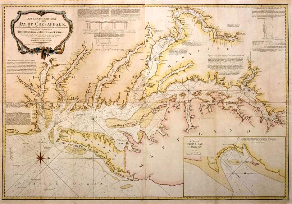
A New and Accurate Chart of the Bay of Chesapeake…
Artist/Maker
Smith, Anthony __Cartographer ||Sayer, Robert __Publisher ||Bennett, John __Publisher
Place Made
London Great Britain
Date Made
1776
Medium
ink and watercolor on paper
Dimensions
HOA: 38 1/2″; WOA: 55 7/8″
Accession Number
5714.13
Description
The Chesapeake Bay and its tributaries contain more than 1500 miles of waterways navigable by ocean-going vessels. Though some captains chose to navigate their own vessels in the bay, many hired experienced pilots to help them avoid the Bay’s ever-shifting sands and shoals. Anthony Smith, a river pilot in St. Mary’s County, Maryland, published this chart to assist vessels in navigating the Bay and its rivers.
Smith borrowed heavily from Walter Hoxton’s 1735 “Mapp of the Bay of Chesepeack.” He copied sections of Hoxton verbatim while adding new and updated information elsewhere. Published in 1776, Smith’s chart was vital for the British and French Navies operating in the Chesapeake Bay during the American Revolution. Less than two years after it was printed in London it was copied by French Cartographers.
REFERENCES: Pritchard and Taliaferro, Degrees of Latitude, 48.
Credit Line
Ann P. and Thomas A. Gray MESDA Purchase Fund