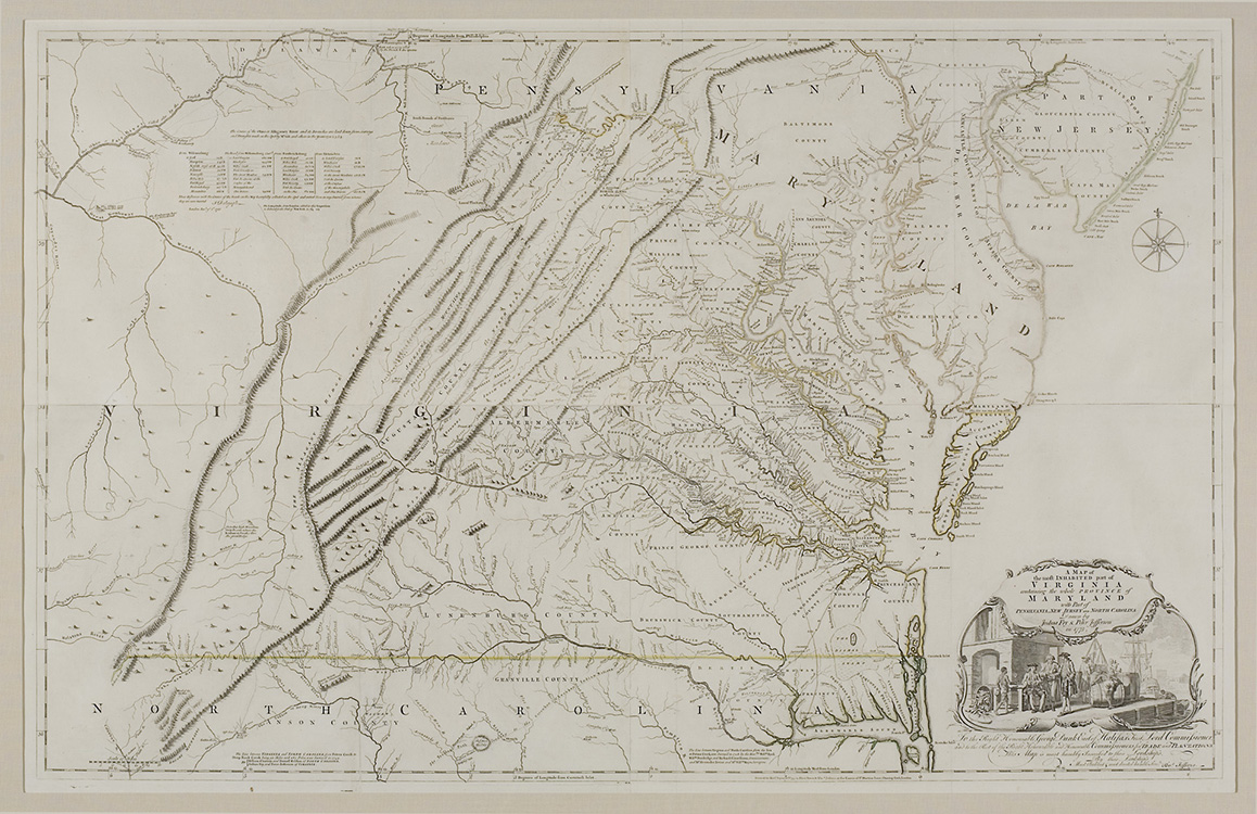
A Map of the Most Inhabited Part of Virginia…
Though the map, particularly from the 3rd state (Taliaferro 2013), was remarkably accurate, it was also a political document that asserted Virginia’s claim to the Ohio River Valley. Conflict with the French over western lands precipitated the need for new and accurate maps of the British Colonies. On July 18, 1750 the Board of Trade directed all North American colonial governors to forward accurate maps of their colonies to London. Virginia, whose western lands included the majority of the vast Ohio River Valley, was of particular importance. Virginia Governor Lewis Burwell wrote to the Board of Trade on January 15, 1751 that he had selected “the most able persons,” Joshua Fry and his associate, Peter Jefferson, to construct a map of that colony.”
Fry and Jefferson combined their own observations as county surveyors for Goochland and Albemarle counties with those of fellow Virginia county surveyors. The pair had also been involved with surveying and setting the boundaries of Lord Fairfax’s vast land grant on Virginia’s Northern Neck. The result was the most accurate map of Virginia to date, and the base map for all other maps of Virginia until it was superseded by Bishop James Madison’s 1807 map of the Commonwealth.
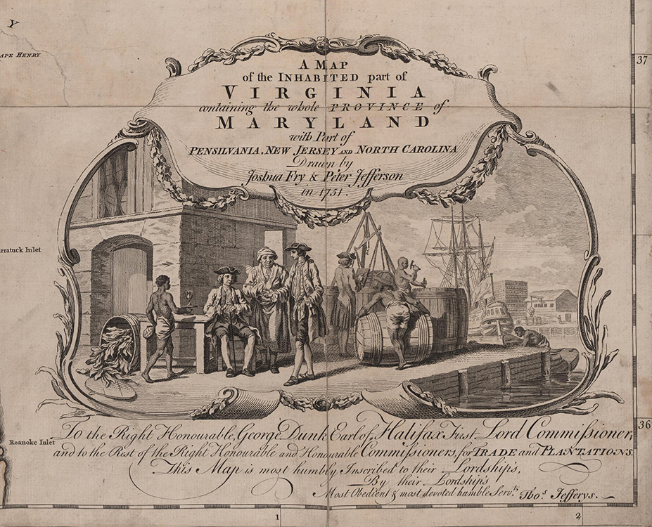
The importance of the map was underscored by the expense of an elaborate cartouche designed by the artist Francis Hayman (1708-1776) and engraved by Charles Grignion the Elder (1721-1810). The cartouche depicts a Virginia planter and enslaver being served by an enslaved man while negotiating the sale of his tobacco to a ship captain on a wharf.
CARTOGRAPHERS: Joshua Fry(1699-1754) was born in England and educated at Oxford. Fry immigrated to Virginia in about 1720 and was appointed the first professor of Mathematics at The College of William and Mary. In 1744 he moved west to Goochland (later Albemarle) County, Virginia, where he was a magistrate and a member of the House of Burgesses. He was appointed the first chief surveyor of Albemarle County.
Peter Jefferson (1708-1757), the father of Thomas Jefferson (1743-1826), was an early English settler in what became Albemarle County, Virginia. He held the office of chief surveyor of Goochland County.
DESCRIPTION: Map focusing on Virginia and Maryland and including parts of Pennsylvania, New Jersey, and North Carolina. Color is limited to the divisions between states which are highlighted in red, green, and yellow. Rivers, lakes, mountains, towns, cites, and counties are labeled. In the upper left hand corner there is a table showing distances between cities.
REFERENCES:Taliaferro, Fry and Jefferson Revisited, http://www.mesdajournal.org/2013/fry-jefferson-revisited/
Pritchard and Taliaferro, Degrees of Latitude, 30.