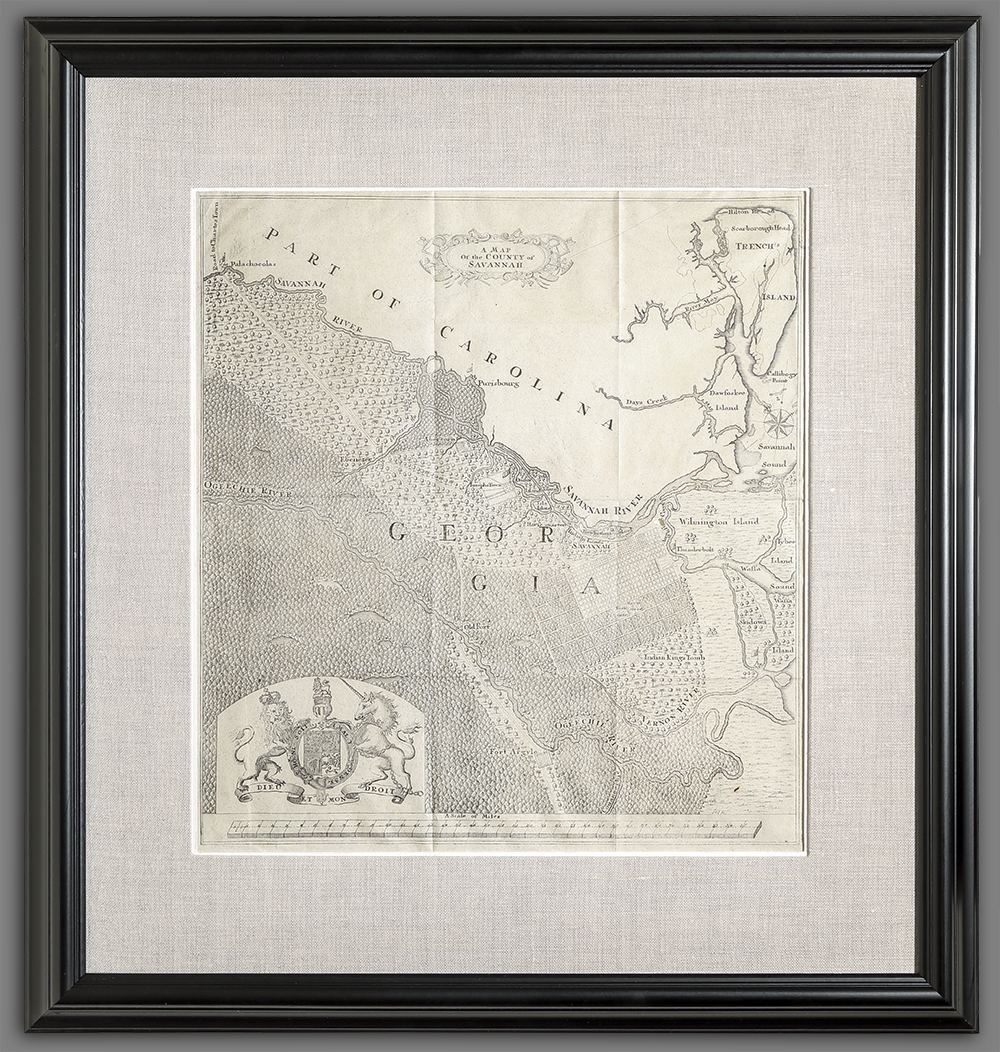
A Map of the County of Savannah
Artist/Maker
T.F.L. __Engraver ||Oglethorpe, James Edward __After
Place Made
Halle Germany
Date Made
1735
Medium
ink on paper
Dimensions
HOA: 15″; WOA: 14 1/4″ (sight)
Accession Number
3566
Description
James Edward Oglethorpe (1696-1785) was eager to attract German-speaking protestants to the Georgia Colony. In 1735 Oglethorpe sent the manuscript map on which this map is based to London. Unlike the better known perspective view of Savannah, this map depicts both the familiar town plan and the farm lots outside of town. It also depicts other nearby settlements, forts, roads, and outposts.
REFERENCES: Cumming, The Southeast in Early Maps, 246.
History
This map was originally published in Samuel Urlsperger’s Der Ausfuhrliche Nachrichten.., Halle, 1735.
Credit Line
MESDA Purchase Fund