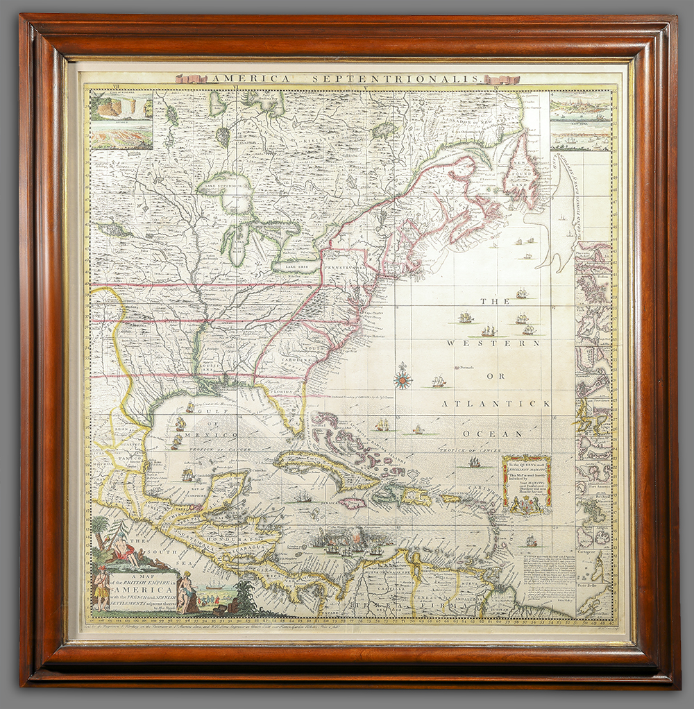
A Map of the British Empire in America…
Artist/Maker
Popple, Henry __Cartographer ||Lempriere, Clement __Designer ||Toms, William Henry __Engraver ||Baron, Bernard __Engraver ||Seale, Richard William __Engraver
Place Made
London Great Britain
Date Made
1733
Medium
hand-colored engraving
Dimensions
HOA: 20 7/8″; WOA: 20 1/4″
Accession Number
4206
Description
This map is the key to Henry Popple’s “A Map of the British Empire in America…” It was published alongside the twenty sheets that made up the monumentally large map. Popple’s map was available in a variety of formats: bound into an atlas; mounted on linen and rollers; or as a travel map dissected and glued to linen between marbleized boards. Depending on format the entire map could cost between £1.11.6 to £2.12.6. It is suspected that after the initial printing text was added to the copper plate for the key to indicate that it could be purchased alone for 2 shillings.
Popple’s map reflected the growing British interest in the western boundaries of their American colonies. It minimizes the extent of the French land claims in North America visually and through it’s title’s claim of depicting “The British Empire in America” with the French and Spanish Settlements relegated to being merely “Adjacent Thereto.”
STATE: There are four states of this map known. They are distinguished by the text (or lack thereof) below the neat line on the lower left corner of the map. This map is the second state.
REFERENCES: Pritchard and Taliaferro, Degrees of Latitude, 24.
Cumming, The Southeast in Early Maps, 217.
History
Though initially issued alongside the twenty sheet map, this copy was likely sold as a separately issued map.
Credit Line
Library Purchase Fund