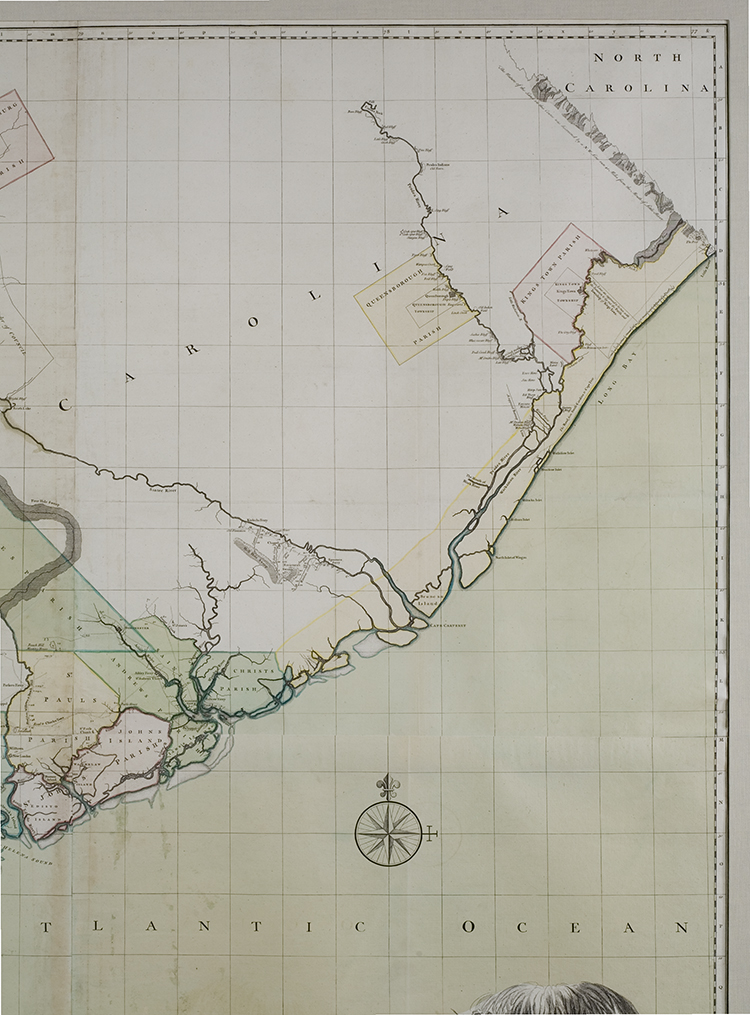
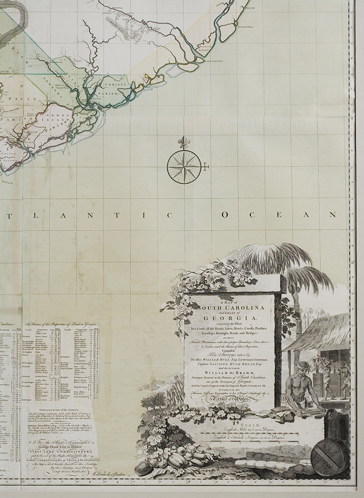
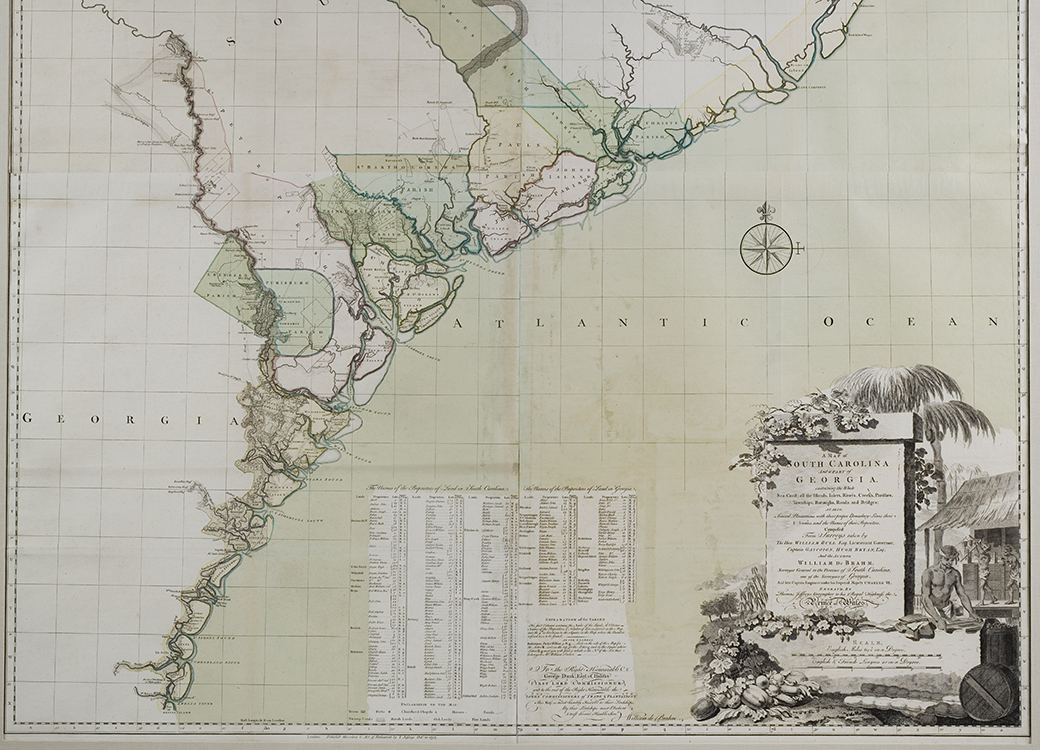
A Map of South Carolina and Part of Georgia…
The map has a number of interesting details: the conditions of the soil are marked along the North and South Carolina boundary, offering the nearest approach to a soil map for many years to come; the coastal islands are depicted with reasonable accuracy rather than the symbolic blobs merely indicating their existence on earlier maps. All subsequent maps of this region in the 18th century rely on this map by De Brahm. Professor L.C. Karpinski wrote: “De Brahm is the first strictly scientific cartographical expert to practice his art in the Carolinas.” After spending the years of the Revolution in England, De Brahm retired to Philadelphia.
DESCRIPTION: Map is on a grid paper, areas of the map are colored, denotations of parishes, rivers, towns, and plots of land within South Carolina and Georgia. A list of the land plots and owners is at the bottom of the map. Map printed on 4 sheets (each 24 x 26 ½ inches) from 4 engraved copperplates.
REFERENCES:
Cumming, Southeast in Early Maps, 310;
Pritchard & Taliaferro, Degrees of Latitude, 37;
George Washington Atlas (Yale), maps 36-37.
Karpinski, Early Maps of Carolina and Adjoining Regions…, 1937, p37.